Happy New Year everyone!
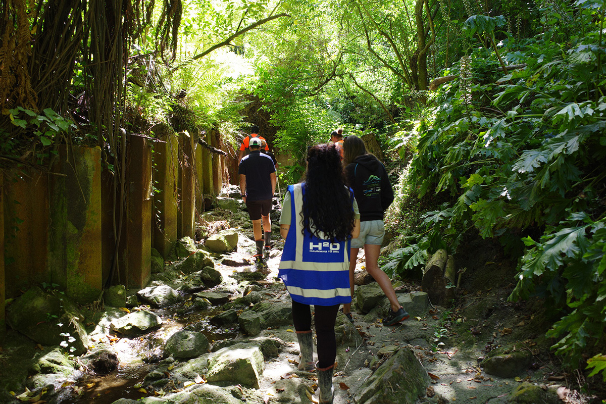
Before the holidays, we were on the ground in Gisborne, on the east coast of New Zealand’s North Island, helping kick-start something exciting.
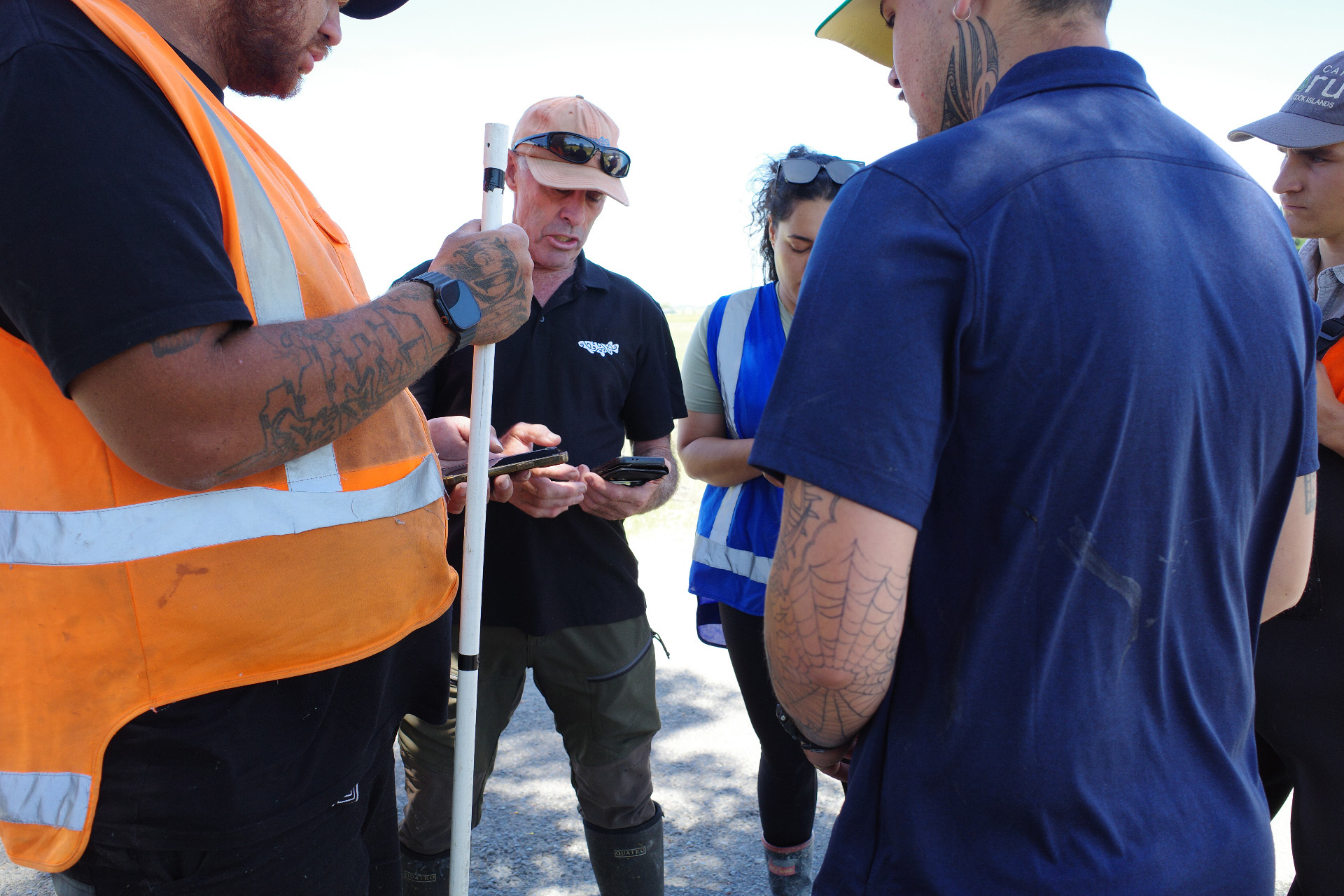
Gisborne District Council and local iwi (the Indigenous Māori tribes of the region) came together for a hands-on training day – learning to use the Structures in Waterways field app to start identifying barriers to fish passage across their area.
 The app lets teams assess culverts and other in-stream structures in the field, recording characteristics to help determine whether they’re barriers to fish migration or not. All that data flows straight into a central Sharepoint, building a clear picture of what’s out there and where the priorities are.
But the data doesn’t just sit there. Once structures are assessed, the information feeds into planning for remediation – helping teams understand what materials are needed, estimate costs, and decide where to focus their efforts.
 Gisborne’s journey is just beginning, but to show you where this leads, here’s a snapshot from the Bay of Plenty region, where this same process is well underway.
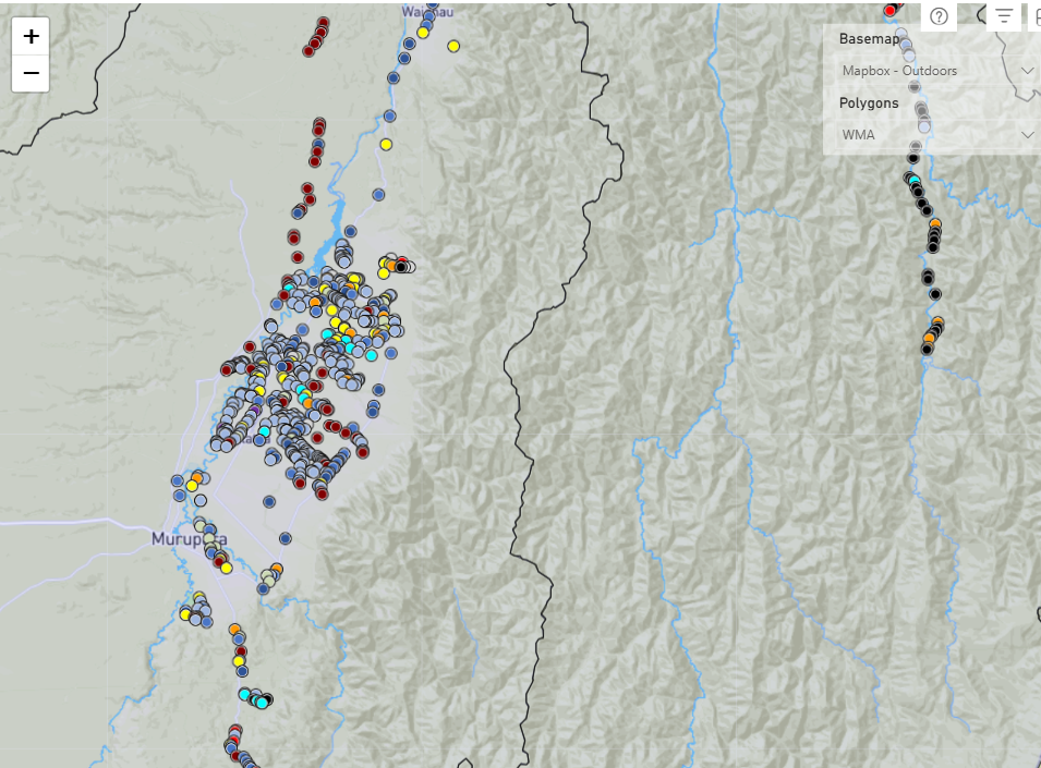 Every dot represents a structure that’s been assessed. Every dot is progress.
We’ll be following Gisborne’s journey as they build their dataset and move toward remediation. Watch this space.